Recently, an illustrator in Cardiff completed a new hand-drawn city map. What the appeal of hand-drawn maps is in the era of GPS navigation.
On the blue and green map of Cardiff, five tiny men rowing on the river lean slightly, their oars rippling through the water. On the other side, robin birds in the shade perched on the branches, and between the greens a bearded golfer took a swing. It looks like an insert from a children’s picture book, but it is a map of the city – a map drawn slowly by hand.
At a time when digital maps and GPS navigation have long covered our lives, there are still some creators who insist on documenting a city with hand-drawn maps. In their view, maps are not just tools, but also an expression, an emotional connection between people and places.
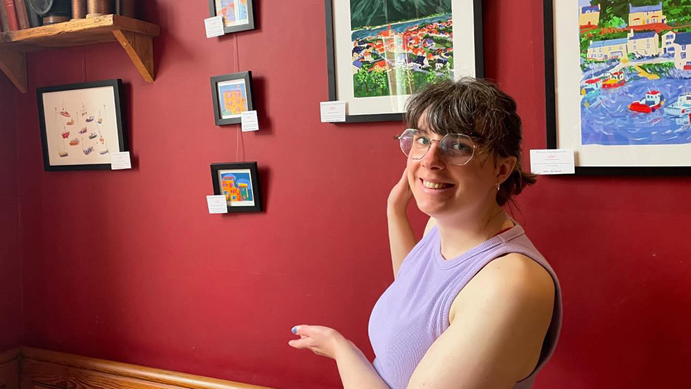
“Hand-drawn maps capture the spirit and atmosphere of the place in a way that digital maps can’t”, says Naomi Clarke, a freelance illustrator and artist based in Cardiff. She recently created this hand-drawn map of Cardiff city.
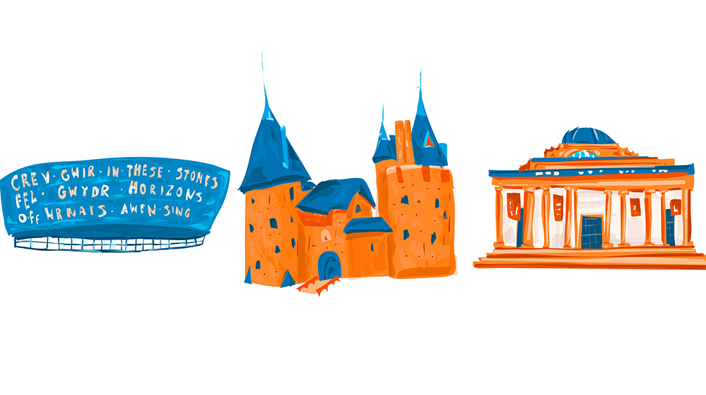
Naomi moved to live in Cardiff two years ago and last month completed the map of Cardiff. She says emotions and observations about the city were incorporated into the map. “Since moving to Cardiff, I’ve wanted to capture this lovely city! I’ve been taken in by all the luscious parks and nature in the city,” said Naomi.
Naomi has loved crafting since she was a child and has participated in all the craft projects at Usk fairs. Later, she gradually developed her own illustration language at university. And then she was reintroduced to printmaking and digital collage techniques at the Erasmus exchange in the Netherlands, which deeply influenced her creative style today.
“Illustration captivated me as a unique way to communicate briefs, and I love adding little narratives to my work,” said Naomi.
Hand-drawn maps are different from function-oriented navigation maps, they are a combination of practicality and art. It can not only mark streets and landmarks but also accommodate the subjective observations and emotions of the creator. The painter is no longer a spectator in the creation, but a witness. Naomi explains that she put some of the moments in her lives that touched her on this map.
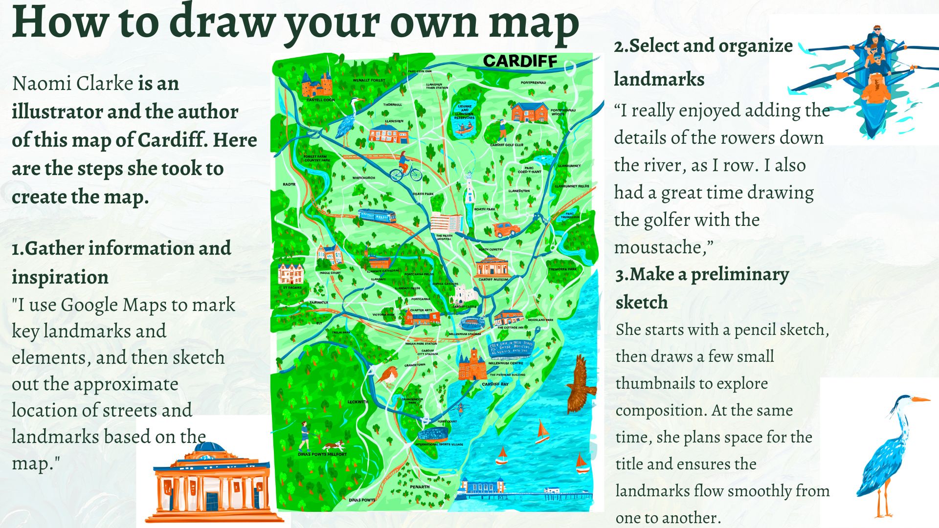
“I really enjoyed adding the details of the rowers down the river, as I row – and the buzzard, robin and the details of the green spaces as I think the nature in Cardiff is so important. I also had a great time drawing the golfer with the moustache,” said Naomi.
She believes that illustrated maps can not only present the creator’s own experiences and stories but also carry the voices of more people. “A map would be compiling other experiences from different people in the city and illustrating stories from different viewpoints and ages,” said Naomi.
However, some map creators have gone further. They don’t just document the real world; they build a world that never existed. Hobbyist map maker Freddie Winckless has been drawing maps since the age of 10, inspired by fantasy lands in fantasy novels. He sketched rivers, mountains, and national borders from blank paper and gave them history, people, and evolution.
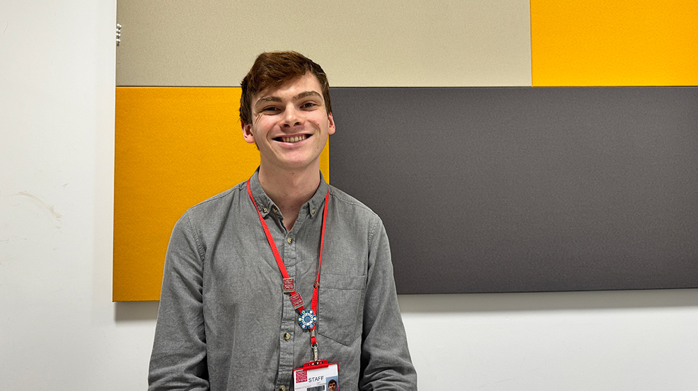
“Maps aren’t just about geography, they’re about your relationship with the place. Every time I change a place on the map, like a river, I imagine how the world has changed as a result,” said Freddie.
In today’s highly accurate and high-speed generation of digital maps, the meaning of hand-drawn maps seems to be increasingly blurred. But in the creator’s view, it is this “slow” and “imperfect” that makes the map more inclusive of human emotions. Drawing maps by hand is not so much an artistic presentation as a process that allows people to really participate in the creation.
For Freddie, the most fascinating thing about the map is not the precision of the information, but the involvement of the creators in it. ” That connection to what you’re creating is quite important for making them up”, said Freddie.
There are still traces of human judgment in modern digital maps, such as the shape and color of mountains, the way climate regions are presented. “Google Maps certainly has human decisions about how it’s presented, but those decisions were set over a decade ago,” Freddie said. “A lot of maps now rely on automated satellite imagery, with less human involvement, and that’s where I think hand-drawn maps are the most irreplaceable.”
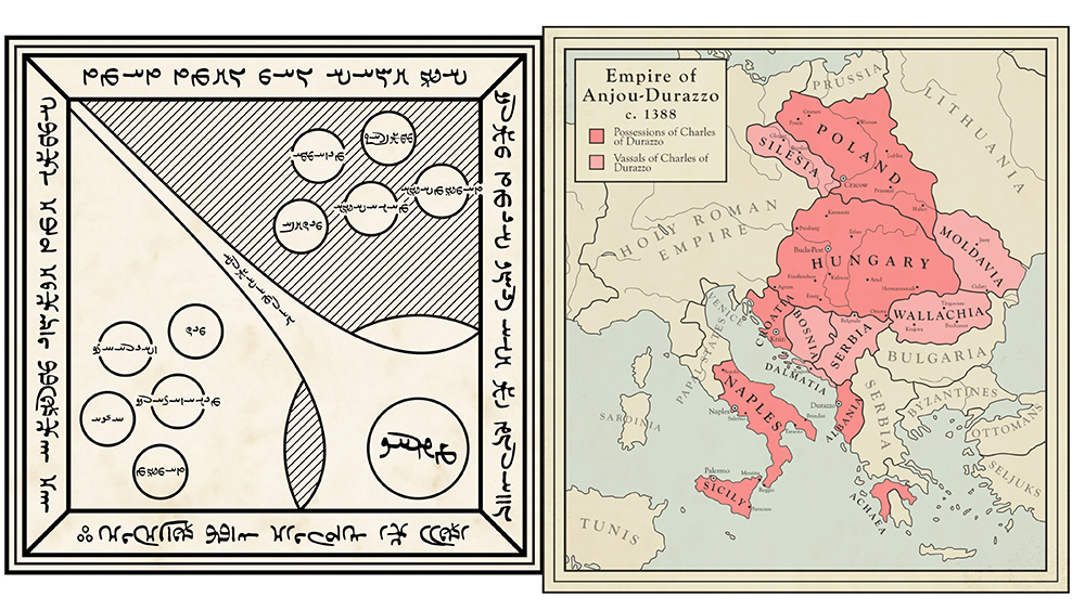
In his opinion, the “mistake” in a hand-drawn map may be precisely the part that shows the creator’s intention. “In a way, it can be less accurate, like there’s more case for like inaccuracies or errors, but that can really tell you something about the person behind it,” said Freddie.
In the creation of hand-drawn maps, “accuracy” is not always the supreme principle. Sometimes the out-of-proportion lines, enlarged buildings, and even deliberately omitted areas are the ones that best convey the idea of the creator.
Naomi makes similar artistic choices in her work. She refers to existing map structures and makes sure to keep key road and landmark names, “when you were to look at google maps you can make sense of which parts of the map are, “ said Naomi. But in terms of visual presentation, she will focus on art. “I use artistic flair to make the landmarks bigger or take more space than they would typically,” said Naomi.
Of course, the birth of a hand-drawn map is no mystery. According to Freddie, the most important first step is to define what you want to express: “Whether it’s a point in time, a place, a memory, or a feeling, a map is how you choose to express it.” Start with the theme and then decide on the style. “Once you know what you want to say, the way of expression will naturally emerge.”
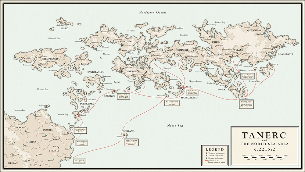
Naomi is more used to starting with a sketch. She sketched shapes on paper, then added details by referring to other illustrated maps, Google Maps and satellite images of the city. “I also use my own photos as inspiration,” she said, “moving and revising until I feel like it ‘works.'”
Whether depicting a real city or building a fantasy continent, hand-drawn maps carry the creator’s thoughts and choices. “A map is an exploration and understanding of the world through art,” said Freddie.
