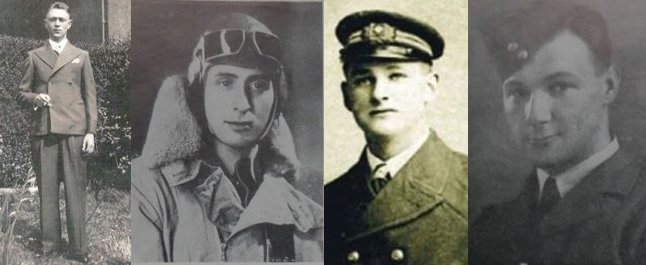
ROATH doesn’t have a public war memorial but for those looking to learn about its fallen this Armistice, the local history society runs an interactive map
The map covers the old parish boundary of Roath (including Plasnewydd, Penylan, Adamsdown, Splott and Cathays), marking the homes of almost 300 soldiers who died during both world wars.
It also contains local air raid sites and civilian casualties that occurred during World War Two.
Author of the map, Ted Richards, said he started the virtual memorial after realising that Roath was one of the only areas in Cardiff that did not have a public monument.
“There used to be a plaque with around 15 names in the Mackintosh Sports Club, but that has since been lost,” he said.
It has become a labour of love for Mr Richards, who grew up in Roath, and describes the research as a sort of guilty pleasure.
“On one hand, it’s about the soldiers and bringing their memories back to life. However, I do sometimes feel a bit bad about how much I personally enjoy it,” he said.
Mr Richards became interested in local history after returning to Roath in his retirement. “It’s sort of like my career as a scientist, only now I get to choose what I investigate.”
A lot of the entries have come from Cathays library, with old newspapers sometimes writing a description of the young men going to war. The Commonwealth War Grave Commission also has a huge database of names, though many entries don’t include a hometown.
For anyone looking to research their own family, Richards recommends looking online on FindMyPast and Ancestry. Both websites are free to access via any library computer in Cardiff, though Richards says Cathays is the most helpful.
The Roath Virtual War Memorial is far from complete, with Mr Richards estimating the total number of local soldiers lost could be as high as 3,000.
If anyone has information they think should be on the map – such as photos, individuals or new details – they can email roathwarmemorial@gmail.com.


