The project aims to create a map of roadkill all over Britain to be able to reduce the impact of traffic on the UK’s wildlife.
Scientists at Cardiff University have been working on a project that can ultimately help reduce wildlife casualty on UK roads with help from the members of the public who can report any roadkill they come across.
Since 2013, the project has been mapping roadkill across Britain, and collecting information via Twitter, Facebook, and a special app through which people can report any wildlife carcass they come across on their travels or in their vicinity at any time.
“It primarily shows us the scale of where it’s happening but it can also highlight regions and roads that are particularly bad for roadkill and wildlife,” said Sarah Raymond, who is one of the lead researchers on the project.
The project comes out with a weekly report that accounts for the number of roadkill reported along with a species-wise break-up.
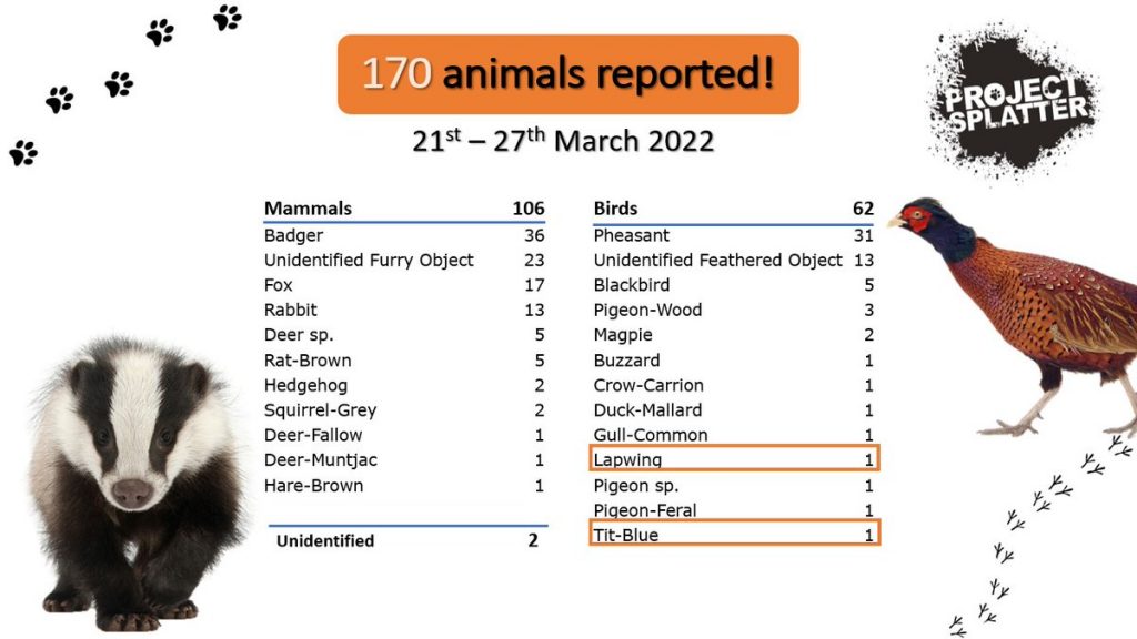
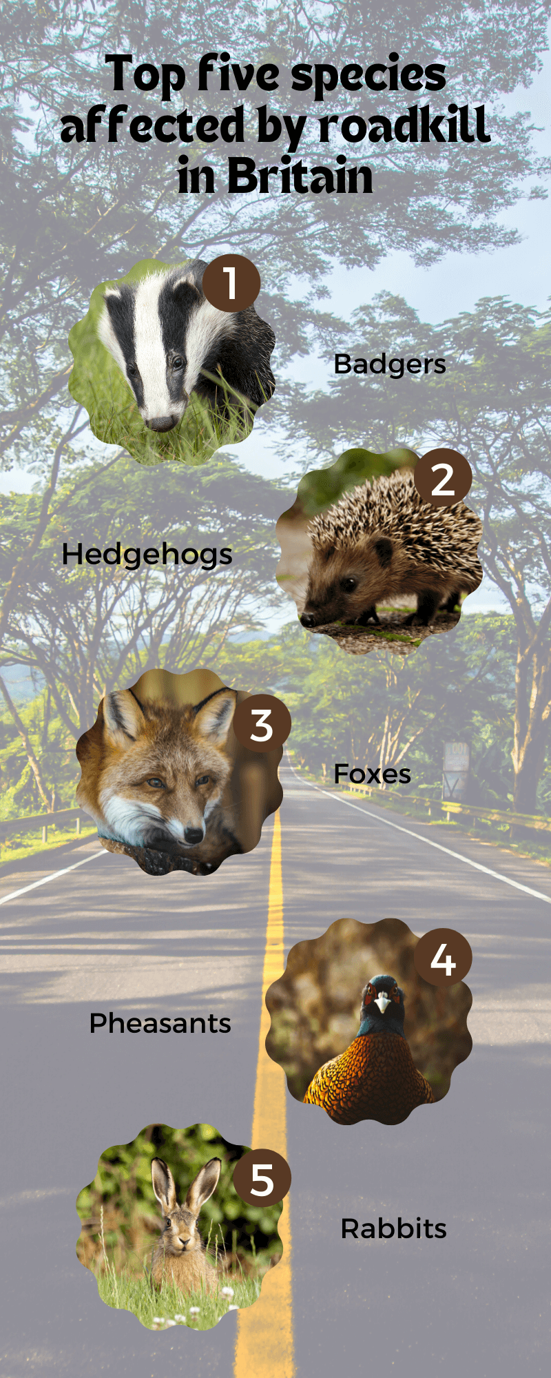
According to the data collected by the project, badgers are reported as the number one species affected by road collisions followed by hedgehogs.
“Roads are the one of the biggest killers of badgers. It’s having a huge impact on them,” said Sarah.
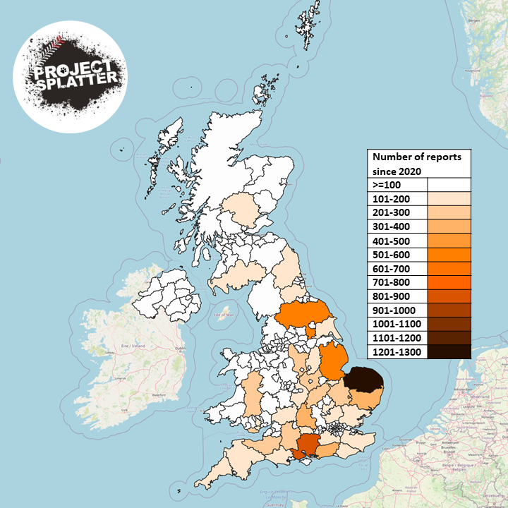
As a part of her research, Sarah maps and studies hotspots that are locations or areas that are particularly dangerous to cross for wild animals. This along with their study on the effect of seasonal variations on roadkill helps the project provide relevant information that can help reduce roadkill.
“If we know that a species is particularly at risk at a certain time of the year in a certain area, we could use that information to implement some road mitigation measures that can help increase driver awareness in that area or that time period,” said Sarah.
“We can also potentially introduce things like temporary road signage saying that a particular species might be crossing.”
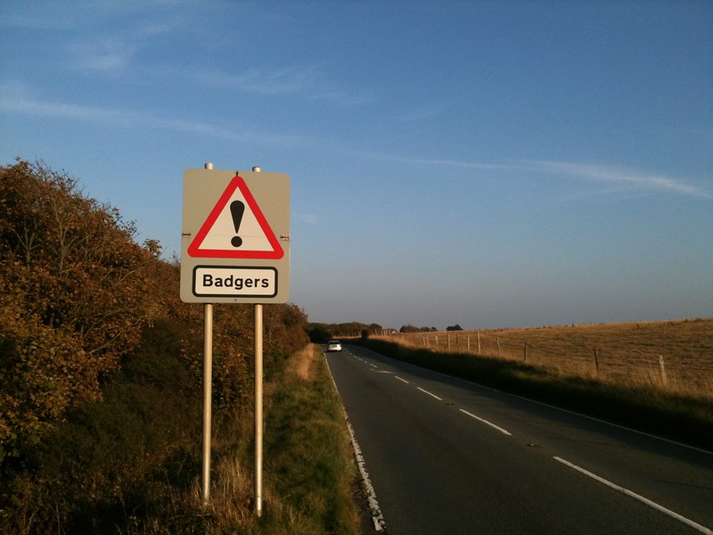
There are various other road mitigation measures that can be implemented to help reduce the risk of loss of wildlife on the roads.
“One of the more widely used techniques is wildlife fencing. It can be used in conjunction with another measure, like a wildlife bridge that goes over the road. This can funnel the movement of the wildlife to cross over the bridge and not go on the road.”
“There are also things like tunnels that can go underneath the road that can be used by animals,” said Sarah.
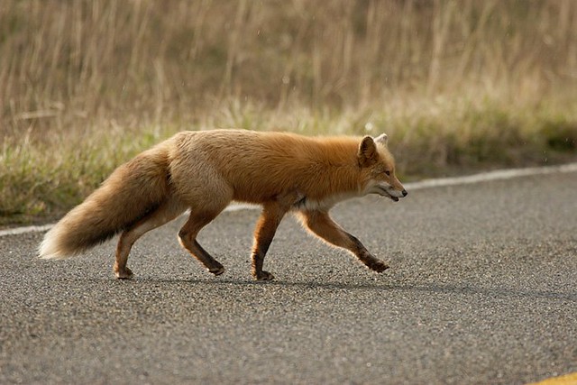
However, there are challenges to putting these mitigation measures in place and the cost involved often becomes a limiting factor.
“These methods aren’t cheap at all,” said Sarah. “It also requires cooperation with road developers because certain structures may have to be put in as a new road is being built. It also calls for co-operation with local governments and local charities as well.”
“Road signage is easier to implement. But the problem with this is that people can become almost sign blind, which means that if the sign is there permanently, they just don’t pay attention to it,” said Sarah.
“There is definitely scope to do more.”
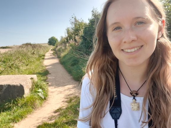
Sarah also stressed the significance of public participation in the project. “We cannot do this research without members of the public. It’s a huge benefit to have people reporting this data. We rely on volunteers completely.”
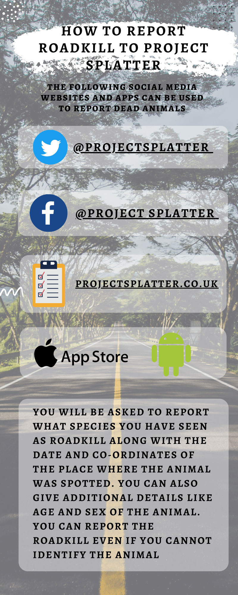
Links to the app:
Android: http://ow.ly/9yxc50IlHLH
