Some residents want Google Maps and the Cardiff Bus app to introduce ‘night safety features’ to help protect vulnerable people
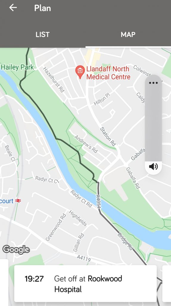
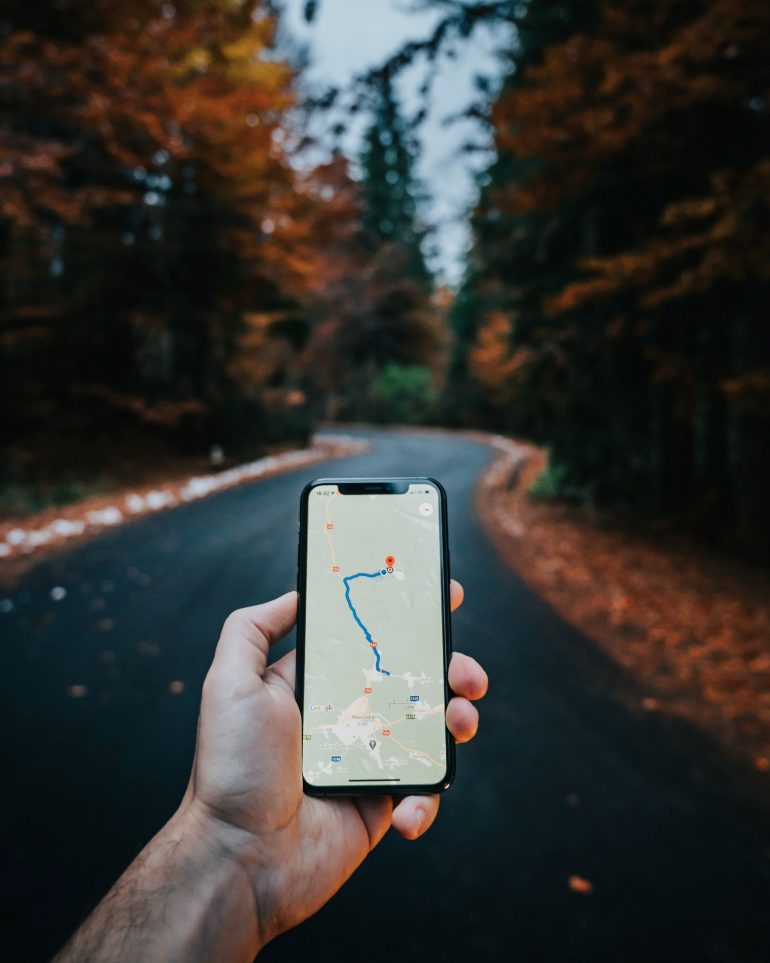
Photo: Stephanie Wilkins
STEPHANIE Wilkins from Llandaff North used the Cardiff Bus app for the first time just under a month ago and claims that some of its suggested routes are not safe at night.
In February, Stephanie travelled back from Canton by bus at around 7:30pm. The app advised her to exit at Rookwood Hospital and walk through Hailey Park to get home.
Stephanie felt that if she had followed Cardiff Bus’ suggested route through the park at night, it would have put her in a vulnerable position, so she walked a longer route home.
She said: “All options took me through Hailey Park. Women are killed every week – you read about it in the press. So, it’s dangerous for any app to take you through a park in the pitch dark.
“Thankfully, I could work out my own route home, but it shouldn’t be allowed to stand like that. People get complacent but it is important for young people and women. It needs to be rectified.”
Last year, around 21 crimes were reported to have occurred in and around Hailey Park including violent behaviour and sexual harassment.
Serious crimes are also known to take place in other parks around Cardiff such as Bute Park, which saw the homophobic murder of Gary Jenkins in the early hours of July 20 last year.
The safety of parks is currently being improved by Cardiff Council and South Wales Police through measures such as CCTV and improved lighting. However, the fear of being attacked at night continues to persist among many Cardiff residents.
Alexandra, a former resident of Adamsdown who has asked for her surname to be withheld, is also concerned about the city’s safety. She feels that Google Maps should also introduce night-time features to not only re-route users away from parks, but areas of high crime rates.
“It can be scary walking through some parts of the city,” she said. “After living somewhere for a while, you learn the fastest and safest routes home – you know where to avoid after a certain time. But if you’re only here for a night or two the city is full of danger, especially walking alone.”
Alexandra once followed a Google Maps route through a residential Cardiff street where she witnessed a group fighting in the middle of the road. She feels that app users should have the option to follow low risk routes, although it could be difficult to implement.
Alexandra added: “I do think it’s a brilliant idea, but seems very difficult to implement, I fear it’d be open to abuse. My concern would be that unfortunately racism and xenophobia could rear their ugly heads.
“So, I don’t think it would be foolproof and it would have no choice but to send you to dangerous places occasionally, but I’d rather have a lower chance of being mugged or worse, than having nothing at all.”
StreetSafe, Safe & the City and Citymapper are three mapping apps in Cardiff and the UK which account for personal safety.
Photo: Lauren Haughey
Both StreetSafe and Safe & the City allow users to report safety concerns in different locations based on a list of categories including poor lighting, sexual assault and spiking.
Safe & the City shows no reported safety alerts in Cardiff today.
Citymapper also has an option for app users to choose ‘main road’ walking routes which avoid parks and prioritises well-lit areas.
Although Citymapper and Safe & the City were introduced over two years ago, Alexandra was not aware of these features.
“I haven’t heard of any of these before. I definitely think they should advertise them more, especially at Freshers’ Fair because it is brilliant.”
The Cardiffian has asked Google for comment.
Cardiff Bus has declined to comment.