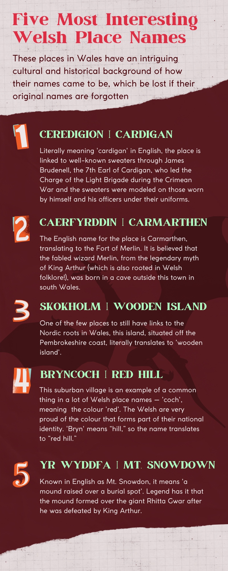
A team is trying to preserve native culture by putting Welsh places’ names by making a new map
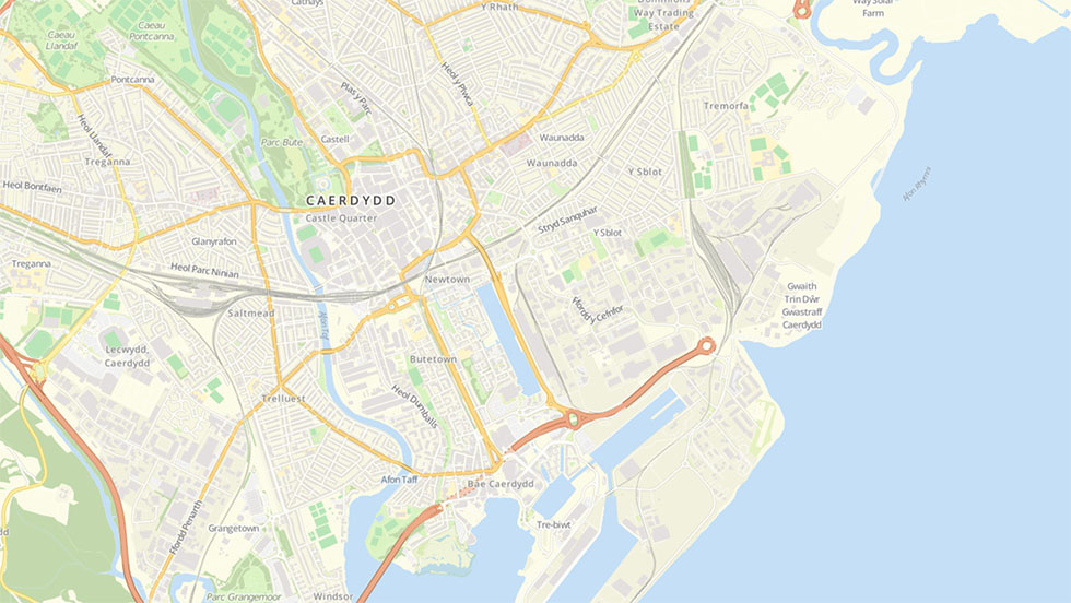
As you take a walk around Cardiff, or any place in Wales for that matter, you can see signboards of place names in both English and Welsh. Yet, only one in five people in Wales are able to use the language on a daily basis. People fear that as people forget the language, they’ll forget the names of the iconic places too.
Three people are trying to keep these names alive by building an open-source public map, consisting of only Welsh names. Mapio Cymru offers the option of a home and a haven for Welsh language names for farms, beaches, and lakes that are under threat from these market forces.
“People think that this map is mostly a geographic project, but you very quickly find yourself in the history, the culture, the usage of the language and how people feel about that. It becomes very quickly, something that is a lot more than just putting names on the map,” said Ben Proctor, one of the three members behind Mapio Cymru.

“So, like my perspective is someone who has lived but grew up was born in England, very close to Wales but in England, I look at the map and I feel that that represents part an important part of the shared history and culture of these islandsAnd so I’m very proud that it exists,even though I don’t speak about language,” said Ben Proctor.
With over 2,000 years of history, Wales has its own character of culture, its language undoubtedly carries them through generation to generation.
“Wales as a country, and therefore Welsh as a language, is constantly under pressure in its communities, as our coastal and picturesque villages become more and more popular with monolingual English speakers who wish to spend their money on a relaxing second home for their weekends and holidays,” said Wyn Williams, a team member of the project.
“Unfortunately, the effect of this is villages with ‘dead hearts’ that are silent in the week, with barely any language being spoken – let alone the Welsh language that was part of those communities for centuries.”
Due to the issue in the communities, such as second homes, the number of Welsh speakers is falling in recent years. By September 2017 the Welsh speaking population was 14,600 weaker than at the same month in 2018, according to the Office for National Statistics’ annual population survey. For fixing this issue, several Welsh language groups wish to protect these communities.
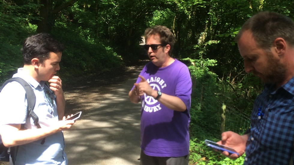
“The biggest challenge is in encouraging as many people as possible to add names and other information to the map. OpenStreetMap uses a similar philosophy to Wikipedia – anybody can edit it and make it better for everybody,” said Carl Morris who is one of the programmers making the map work.
“We have particularly encouraged people in Wales to add their ‘square mile’ – the immediate locality that they know, especially for features like farms and fields which often have very interesting names.”
Considering the culture and language of Wales is also being challenged these years, building a map seems to be more meaningful. The team have a clear goal, which is sharing place names in the Welsh language, for anybody to use, enjoy and learn.
“We see Mapio Cymru as a contribution to the infrastructure of mapping, location, and navigation services available through the medium of Welsh. We want to move towards a situation where anybody can use a wide range of these services in Welsh if they want – probably through more than one provider. Along the way maybe we or somebody else will discover new ways to use and enjoy mapping and place names,” said Carl.